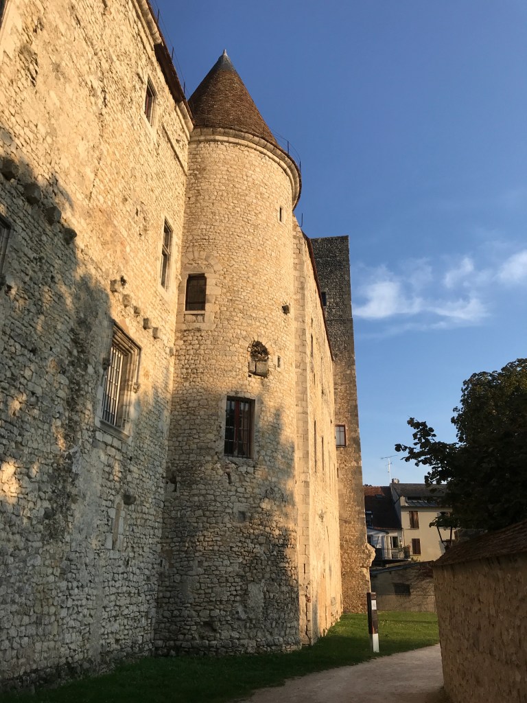
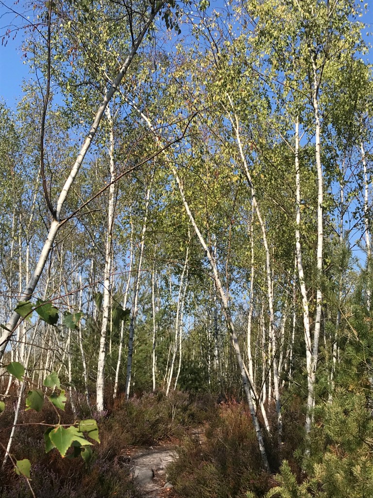
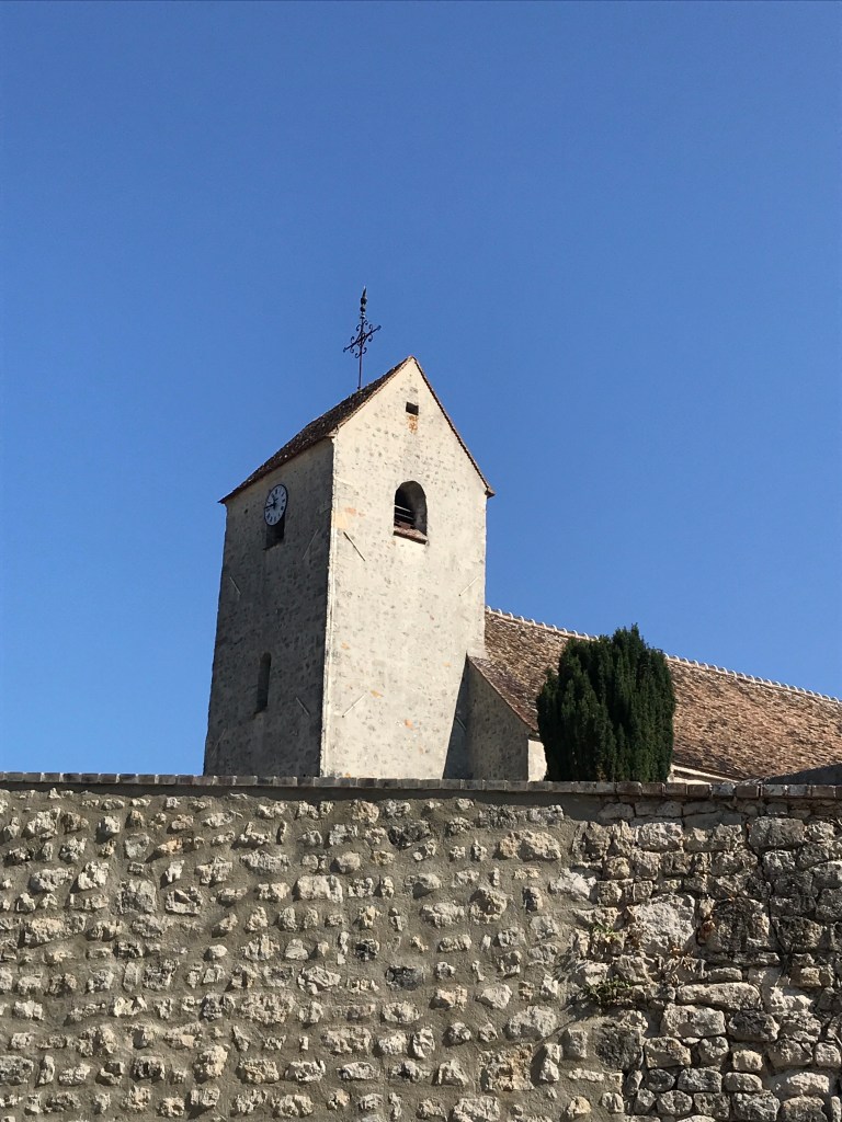
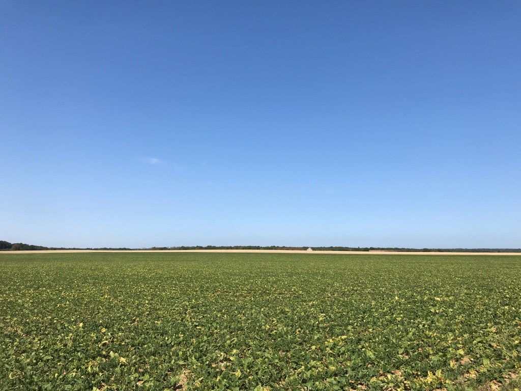
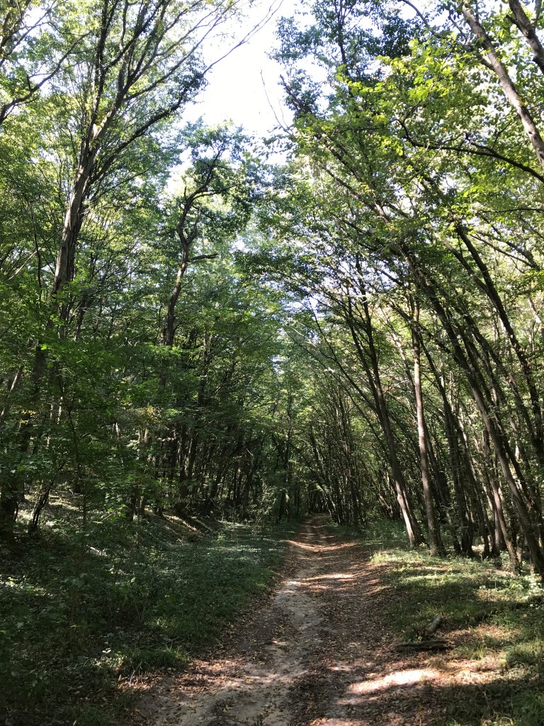
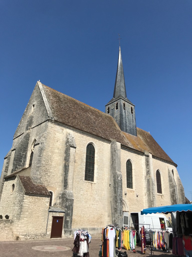
This second stage on the GR 13 is tougher than the first, relatively flat one from Moret-sur-Loing to Nemours, with 332 metres in positive elevation. After leaving the car at the station in St Pierre-Nemours (a huge, free parking lot), we crossed the town, via the castle, before heading uphill into the woods above Nemours. The trail signs were tricky to follow at times and we even ended up doing one section twice after we found ourselves back at the start following a wrong turn on a plateau. The rocks around Nemours are as spectacular as any in the main Fontainebleau Forest, with the advantage that there are fewer people in the area. We only saw a couple of runners, a group of hikers and some mountain-bikers over the 20 km of the trail. After scrambling over and around numerous rock formations, and passing a huge open area of sand, the trail then turned onto a series of wide forest trails that were very pleasant on a hot September day. On emerging from the forest, we discovered the pretty little village of Poligny, entirely surrounded by woods and nestled in a deep valley. After Poligny, there was a steepish climb out of the village (fueled by apples that a charming lady offered us) before an open section of fields without any shade at all (not that pleasant with the midday sun beating down). After the fields, there was a relatively easy descent to Souppes-sur-Loing with the final section unfolding on the streets of the town. We finished by 1 pm, which was a good idea as the temperature hit 29°C that afternoon.