We woke on August 24th to a cool morning, the Bora having caused the temperature to drop by about 12 degrees during the night. After a quick shower with the floor blind well in place, we went down for an excellent breakfast served by Giorgio. We would be in for a pretty long day of 32 kilometres, according to the guidebook, that we would bring down to 28 by adapting the day’s trail to avoid a number of urban areas and main roads. And, as the day unfolded, we would gradually climb from sea level back up to an altitude of 400 metres.
After breakfast, we said goodbye to Giorgio (Federica wasn’t around) and set off towards the centre of Duino, passing along the main road below the old village centre and its castle.
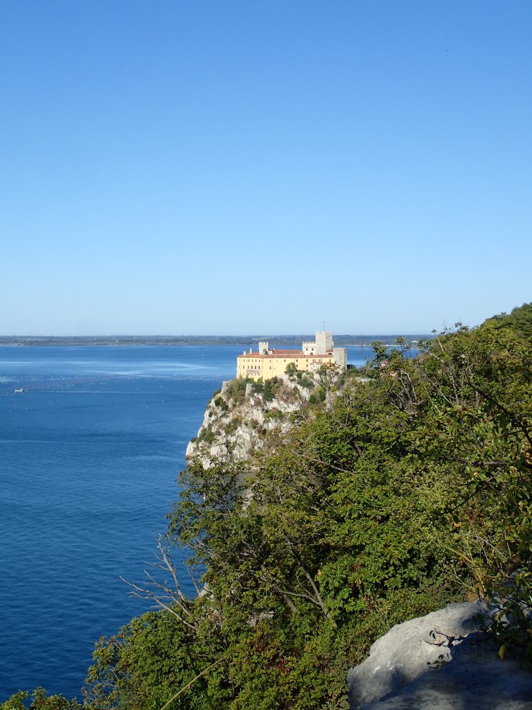
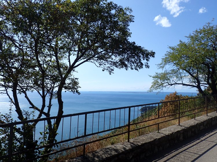
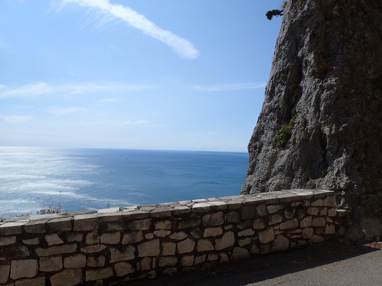
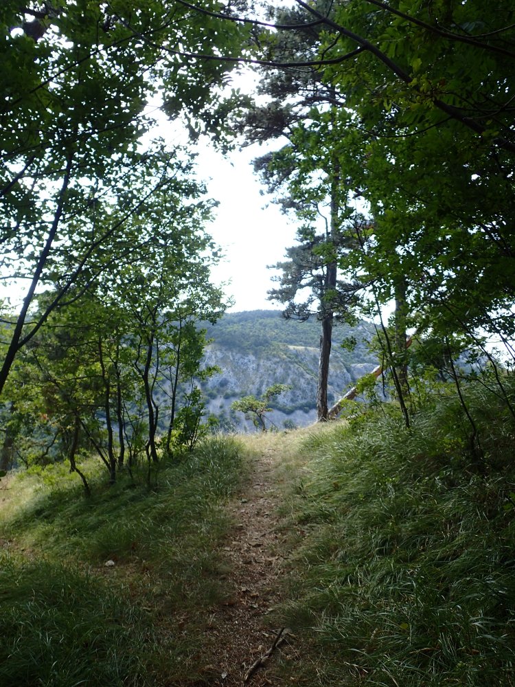
Shortly after, we left the road and headed into a small wood to pick up the Rilke Path, named after the Bohemian-Austrian poet who spent many years here writing The Duino Elegies. He was fond of walking this beautiful trail along the clifftops that led us to the village of Sistiana.
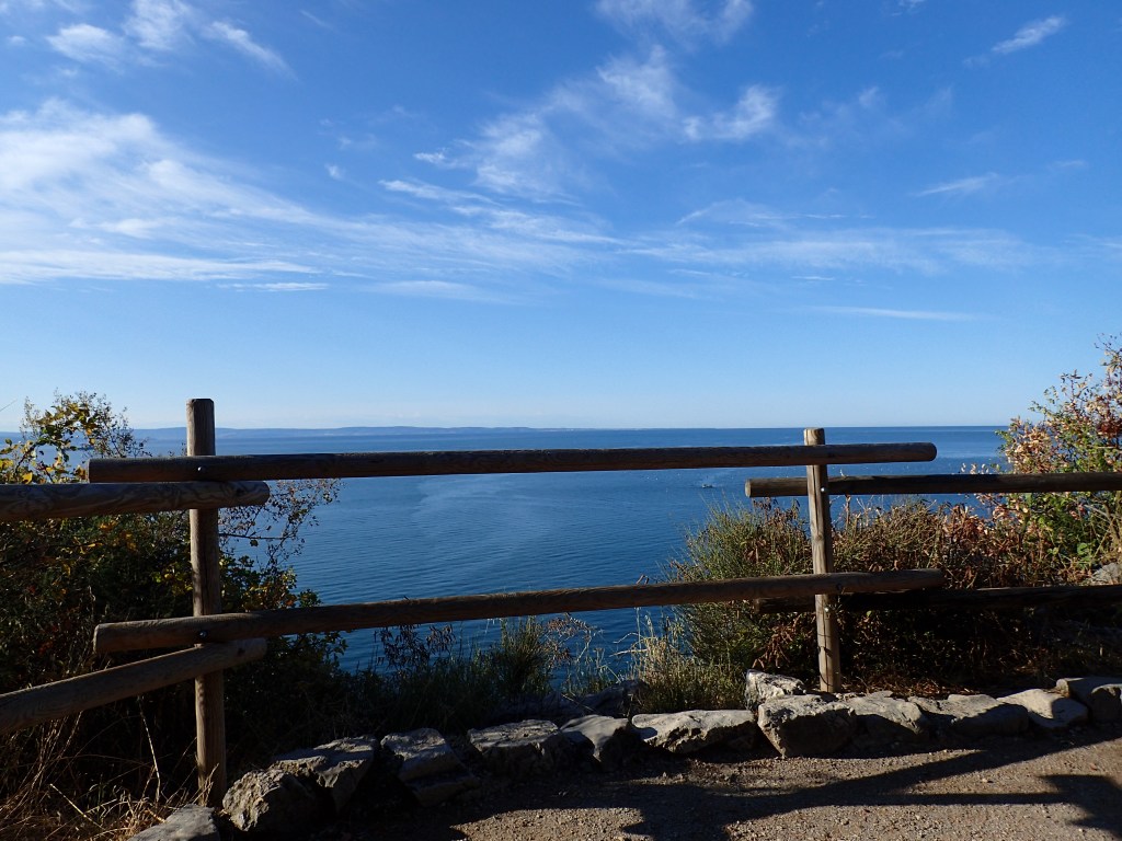
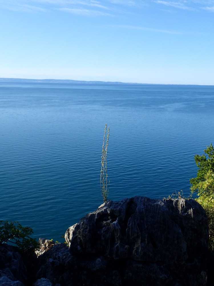
It was another glorious day, with the Bora blowing and keeping the temperature to a very pleasant level for hiking. There were just a few clouds in the sky and the views from the path were spectacular, forming a stark contrast with the industrial complex of Monfalcone the previous day.
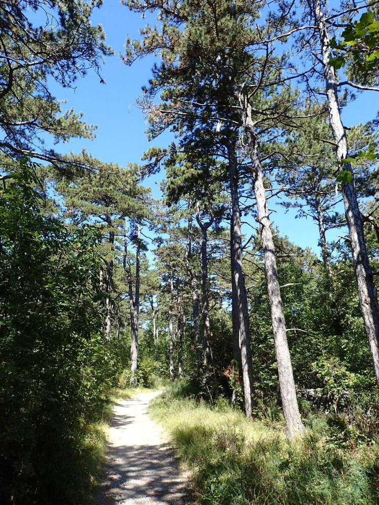
We stopped for a coffee at Sistiana where the trail left the coast to head inland. From this point on, we would be adapting the trail to avoid semi-urbanized areas and to stick to the woods as much as possible. The official trail headed far inland, taking in a number of towns and villages, but we turned off it after the village of Slivia to cross a section of wild meadows and Mediterranean oaks to Aurisina. By doing this, we found a more pleasant route and knocked about 5 kilometres off the day’s total. After Aurisina, we entered some beautiful woods, following an easy trail that led us to Santa Croce, where we had an excellent seafood antipasti and pasta lunch at La Lampara, a restaurant specialized in fish dishes. As we were about halfway through the day’s walking by that point, it was an ideal place to stop.
Despite the worldwide renown of the wine that has taken its name, Prosecco was a pretty underwhelming little village that we crossed without really noticing it. However, on reaching the top of the road out of Prosecco, we had yet another of the surprises that the Alpe-Adria regularly reserved for us. At the top of the rise, the road was suddenly closed to traffic and, even though it had clearly been built in part for vehicles, was reserved for hikers, cyclists and pedestrians from that point on.
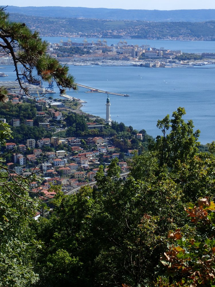
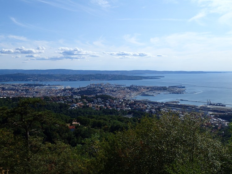
This section of the trail, known as the Strada Vicentina or the Napoleon Path, ran for about 3 or 4 kilometres high above the sea, slowly rising to meet the road from Trieste to Villa Opicina at its end. The views were terrific all the way along and the continuing Bora meant that the climb was pleasantly cool. There were quite a few people around and we got chatting to a couple of Italian ladies who were out for a pleasant afternoon stroll and couldn’t believe how far we had walked by that point.
As we made our way along, there were also some great views of Trieste, where we would be sleeping in two days’ time after ending the trail.
The Strada Vicentina ended where it met the main road from Trieste to Villa Opicina. A famous tram/funicular railway used to run along this road until 2016 when operation was halted following an accident. The pandemic had delayed reopening and it was still not running in 2021 (and at the time of writing in late 2022, the line is still not open).

We crossed the road (and the tram lines), then headed up the path to the Monte Belvedere, passing a large camp site. Once again, there were more spectacular views.
We then headed down to Banne in the valley behind the coastal hills to reach our hotel. This was another simple, but friendly place, with two great guys on reception who were delighted to discover that we spoke Italian. An excellent dinner was included in the rate. The Bora picked up towards evening and was blowing pretty strongly in the trees around the hotel all evening and night, creating a sort of “white noise” that ensured we had yet another excellent night’s sleep.
The Bora was still blowing when we woke the next morning for our penultimate day on the trail. A huge breakfast was included in the room rate, so huge that we were unable to finish it all. And so, refuelled, we set off for another day of hiking in the woods, taking another huge short-cut to avoid Lipica as I was worried that my allergy to horses might kick in there, given the number of stud farms raising Lipizzaner horses. Consequently, we would not be doing the full Alpe-Adria, but given the distance covered so far, we felt no shame in that. Especially as the routes differed in the two guidebooks that we were carrying, the free one provided by the Alpe-Adria Trail and the German Kompass guide. Even with the short-cuts, we racked up another 20 kilometres on this penultimate day.
We began by heading out of Banne, back up to the Monte Belvedere. It was another great day for hiking, with reasonable temperatures and blue skies. The Bora was still blowing hard but would vanish by evening after giving us three days of refreshing breezes.
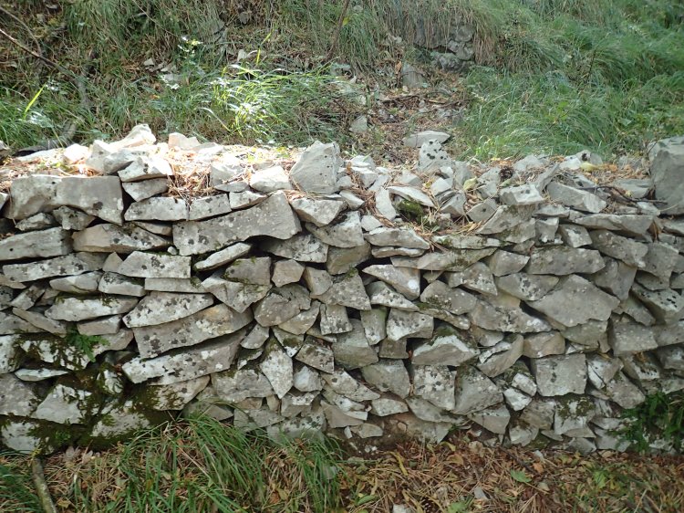
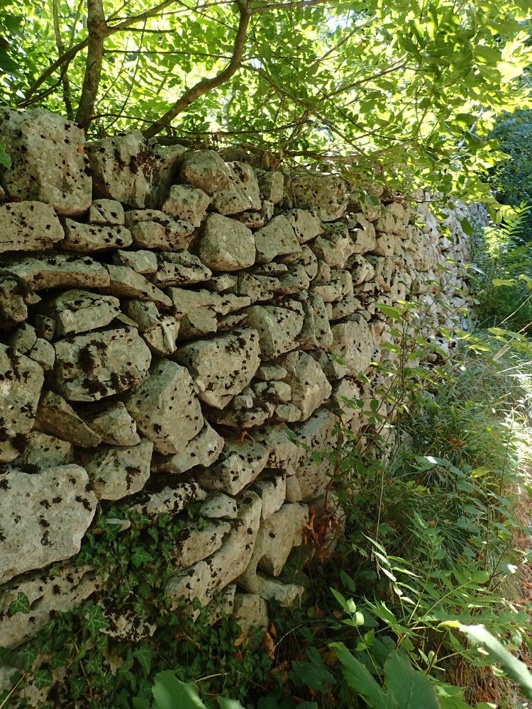
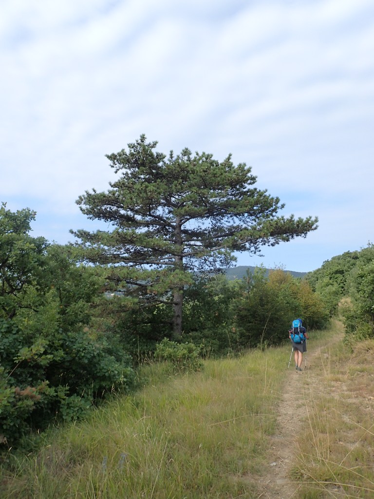
After reaching the top of the Monte Belvedere, we headed along the ridge before turning left and going downhill, crossing some open land in the middle of the woods and then a major road to reach the village of Trebiciano. From there, we headed across country through a mixture of woods and meadows with stone walls to Gropada.
At the entrance to Gropada, there was a small farm shop where we stopped to buy tomatoes and a sausage for lunch. The place was a real hive of activity and it was clear many locals did their food shopping there.
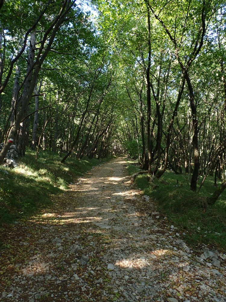
After Gropada, we headed south to Basovizza along the Josef Ressel Path, named after a renowned forest engineer. This was a wonderfully shady section of trail, set out with the disabled in mind, including the blind.
Along the way, even though we weren’t able to see them, we passed a number of the sinkholes and caves that the Karst region is famed for. They featured on the map but the most we saw was an occasional gully in the terrain from time to time.
However, shortly after Basovizza (where we bought a few goodies from the local bakery and spotted the two ladies from the Strada Vicentina the previous day), when we veered off the Alpe-Adria to follow our own trail to San Lorenzo and then Draga Sant’Elia, we came across the starkest reminder possible of the terrible things that occurred here at the end of World War Two.
At the side of the road, we spotted a sort of memorial complex that turned out to be the Foiba di Basovizza, scene of one of the foibe massacres, a series of mass killings both during and after World War II, mainly carried out by Yugoslav partisans against the local ethnic Italian population. The bodies of the victims were dumped in the numerous sinkholes (foibe) that dot the terrain of the Karst region. The ensuing Cold War meant that many of these massacres were covered up until the break-up of Yugoslavia and they remain an open wound to this day. Robert Macfarlane devotes a whole section of his wonderful book, Underland, to these massacres and their fallout. On reading Macfarlane a few months later, I discovered that the massacre sites are now a magnet for Italian neo-Fascist and nativist movements. That would explain the shifty-looking skinheads hanging around at the memorial and the swastikas carved in nearby trees. Needless to say, we didn’t linger there and quickly carried on our way.
We stopped around four kilometres further on, just outside Draga Sant’Elia, where we flopped down in a shady orchard to eat our food from the Gropada farm shop and the Basovizza bakery. This was where we picked up the official trail again after its lengthy detour in Slovenia that took in Lipica and Krvavi Potok before returning to Italy.
However, the trail wouldn’t stay in Italy for long as, shortly after leaving our rest stop and losing our way for a few hundred metres in the hills because of the poor trail markings, we descended to a broad track that was perhaps a train line in the past (there were a number of tunnels), but that was now part of the Alpe-Adria cycle path. This track ran along the border, in and out of Slovenia, often for just a few metres.
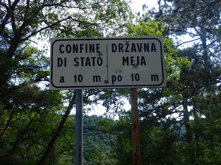
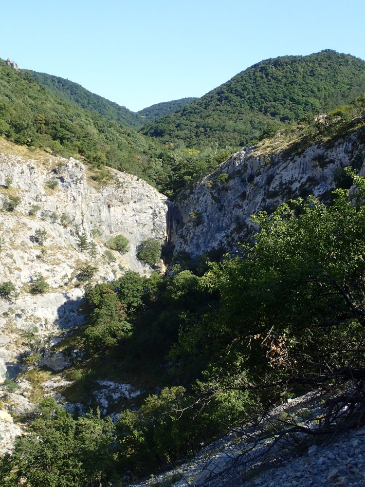
Along the cycle path, we could see the trail continuing on the other side of the Rosandra valley that we would be following for the rest of the afternoon.
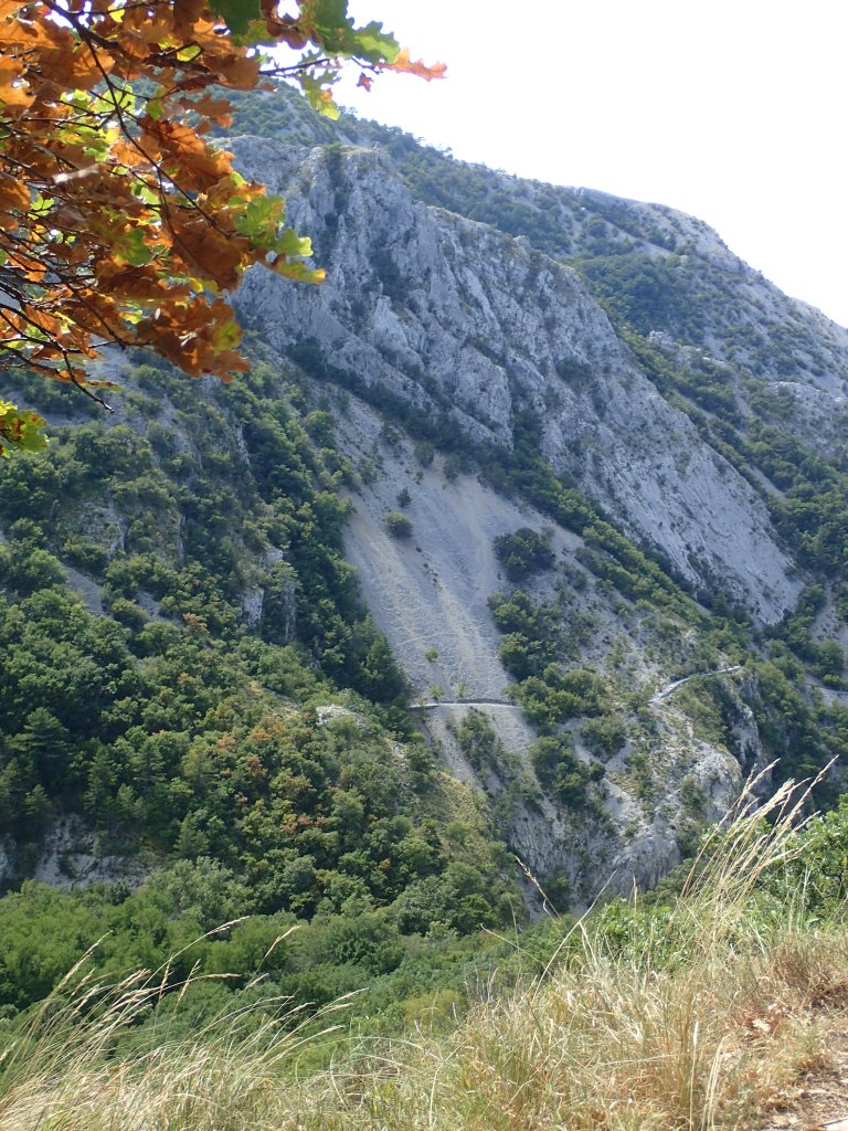
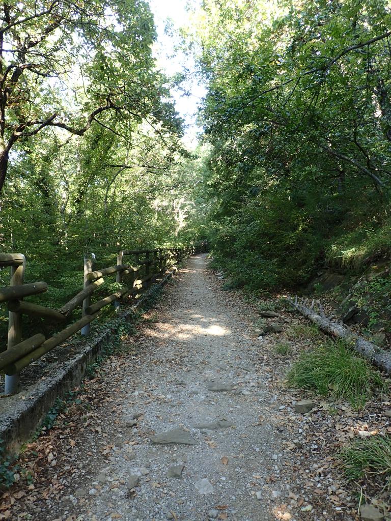
We left the cycle track for a sharp and stony descent to the hamlet of Bottazzo before climbing up again to the path that we had seen from afar. This was another gorgeous section of trail, high above the Rosandra as it flowed through the gorge below. The track was stony, but more like a gravel path than the nightmare trails of Slovenia, so the walking was easy. For once, there were quite a few people about, not a big crowd, just the occasional couple or group of friends out for a walk in this beautiful valley.
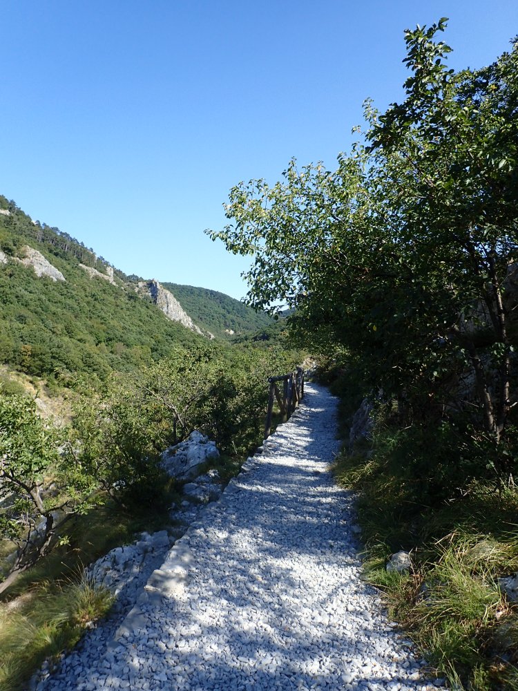
It was a very pleasant final section, with spectacular views back along the trail as we approached Bagnoli della Rosandra where we had a comfortable room booked in a small and peaceful B&B with very friendly owners.
Bagnoli della Rosandra was a tiny place but, fortunately, there was one place to get dinner, the Rifugio Premuda bar and restaurant, Italy’s lowest mountain refuge at just 83 metres above sea level. We had a simple but tasty dinner there on the spacious terrace among all the day hikers who ate there before heading home.
And so we came to our last day on the Alpe-Adria. It would turn out to be one of the easiest, with just 16.5 kilometres to hike to Muggia and the end of the trail. We would finish in time for a celebratory lunch overlooking the harbour.
Despite the proximity of Trieste and its outlying industrial parks, this was another fairly pleasant hike, although not always pretty, with a few sections along busy roads. Even so, the Alpe-Adria planners had clearly made an effort to keep the trail as “rural” as possible until the very end.
After a good breakfast and a chat with the friendly owners of our B&B, we set off through Bagnoli della Rosandra, turning off onto the trail just outside the village. This gently led us uphill to San Dorligo della Valle, a pretty little place with great views of the sea and a couple of beautiful churches.
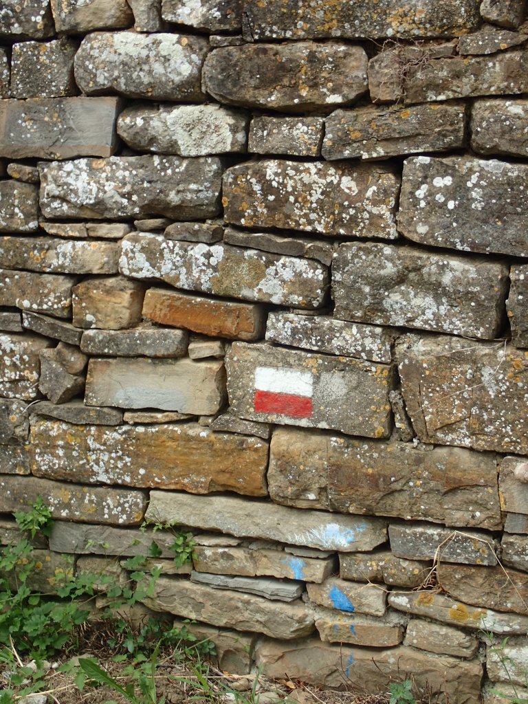
The trail then headed through a section of woodland where we lost our way a couple of times as the markers had more or less vanished and the trail was far from easy to follow at times. There were also numerous backpacks dumped along the trail, with what seemed to be school exercise books scattered around them. We thought some kids had been messing about, but we finally had the explanation more than six months later when I began work on a couple of films, a documentary and a fiction feature, about migrants crossing into France from Italy. The trail markers on the Alpe-Adria had no doubt been covered up or erased by nativist groups trying to confuse migrants crossing from Slovenia to Italy (the two films showed similar groups at work in the French Alps), while the backpacks were probably dumped by migrants to show others that they were on the right trail despite the lack of markers. After World Wars One and Two, the Alpe-Adria was now marked by the conflicts unfolding far from Europe but whose victims were coming here in search of a better life.
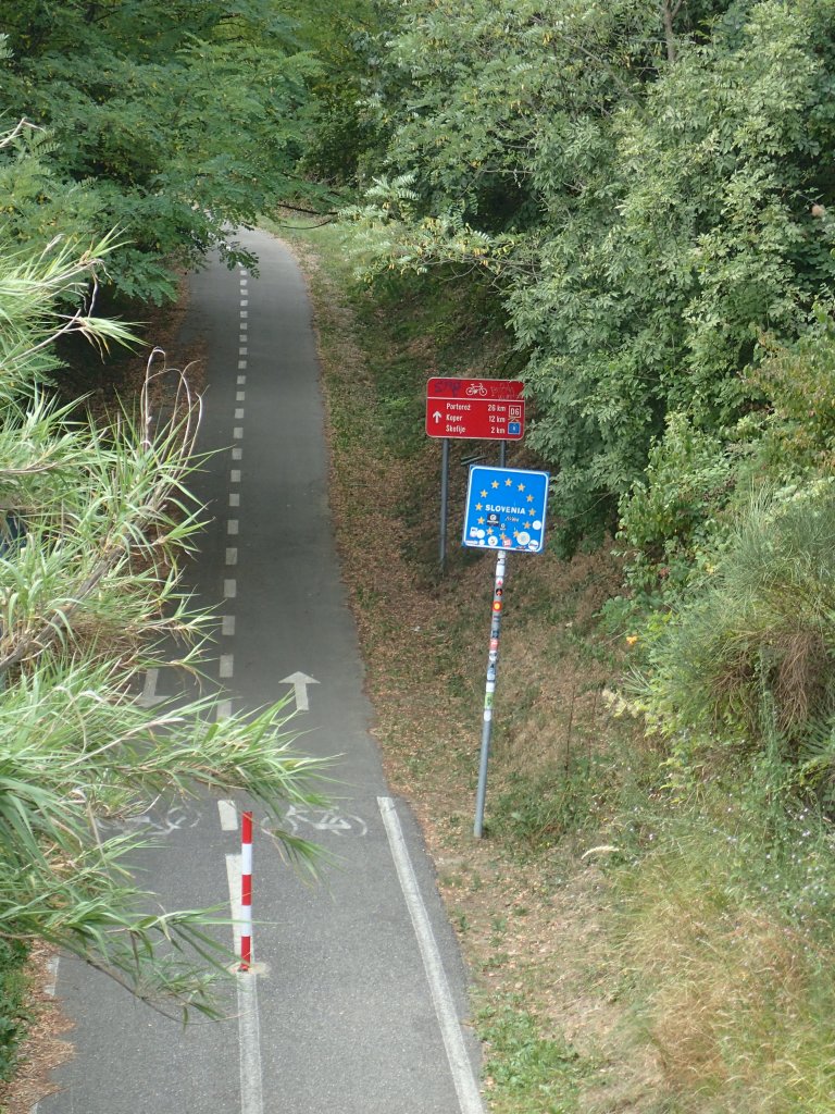
On emerging from the woods, we skirted the village of Caresna before following a new section of the Alpe-Adria that replaced the old trail around one kilometre south. This led us to a rather unattractive industrial estate where we crossed a motorway before heading through a residential area towards the Slovenian border. We didn’t cross it this time, but stayed on the Italian side, catching our final glimpse of Slovenia from a footbridge over a cycle track.
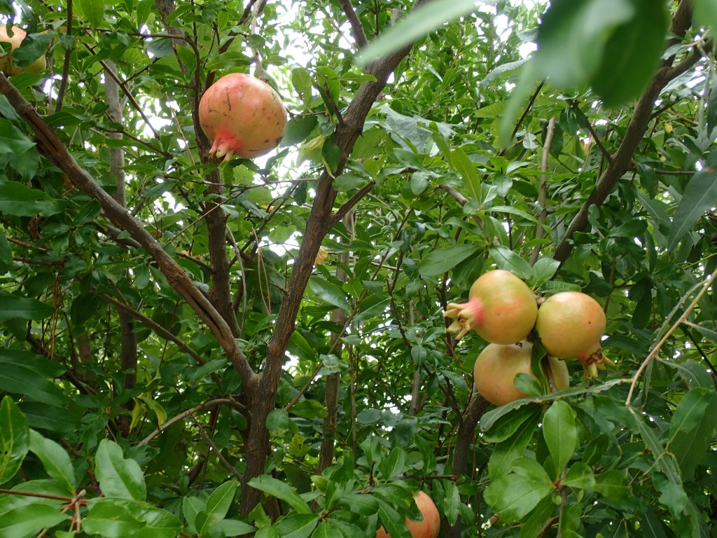
From there, all that we had left was one last climb up to the village of Santa Barbara on a steep but easy trail, before heading down into Muggia, unfortunately along a road, but one lined with orchards and small vegetable gardens.
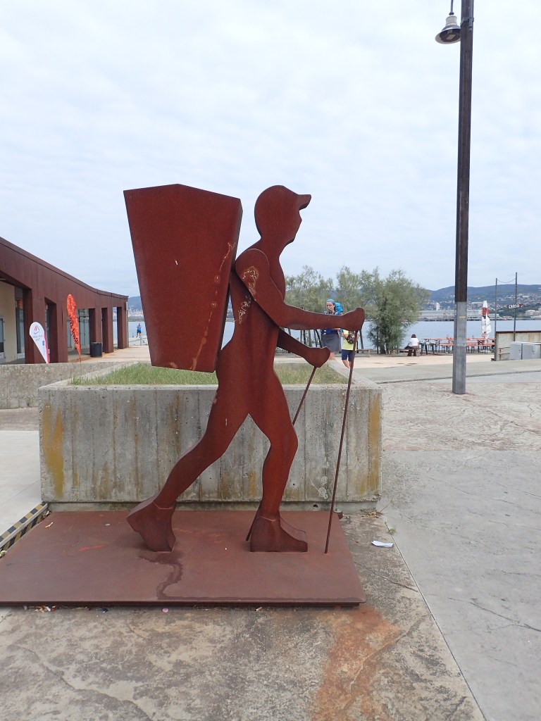
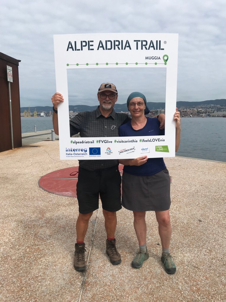
And, before we knew it, we found ourselves in Muggia, amid the crowds in the outdoor cafés having a pre-lunch aperitif. We didn’t linger there but went straight to the Alpe-Adria office near the harbour. We were actually quite emotional on completing the trail and, after sobbing for a minute in each other’s arms, we composed ourselves and went into the office where we related our experiences to a delightful young woman who took our photo with an Alpe-Adria frame, told us that she was seeing many more through-hikers doing the whole trail since the lifting of anti-Covid measures (two or three a day at times) and then recommended a nearby restaurant for lunch (it was 1 pm so the ideal time for it).
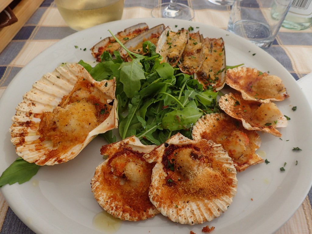
For lunch, we just walked around the corner to a classy little trattoria where we had grilled scallops and razor clams, followed by seafood pasta before moving onto a local ice cream shop for dessert. A great way to celebrate completing the trail.
After ice cream, we wandered out to the end of the pier where we waited for the ferry that would take us to the main square in Trieste. It was hard to believe as we sat there that we’d actually done it, that we’d walked 784 kilometres across 3 countries in 33 days, with a total of 23,418 metres in ascents (and even more in descents as we’d ended up at sea-level).
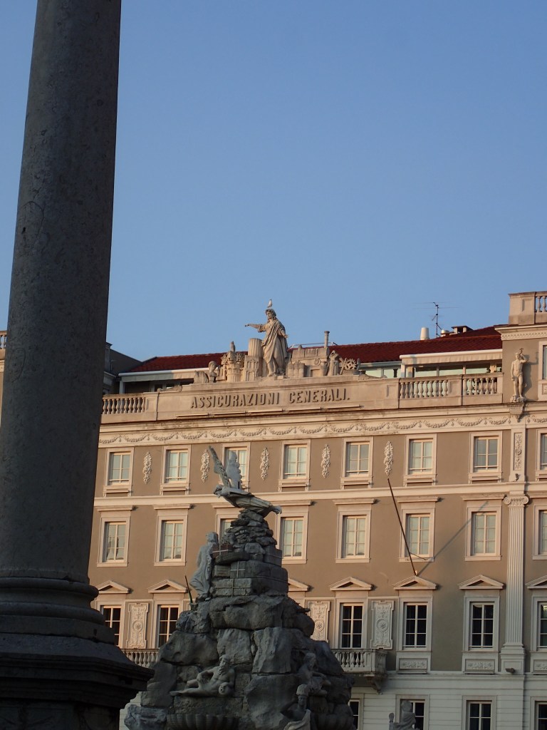
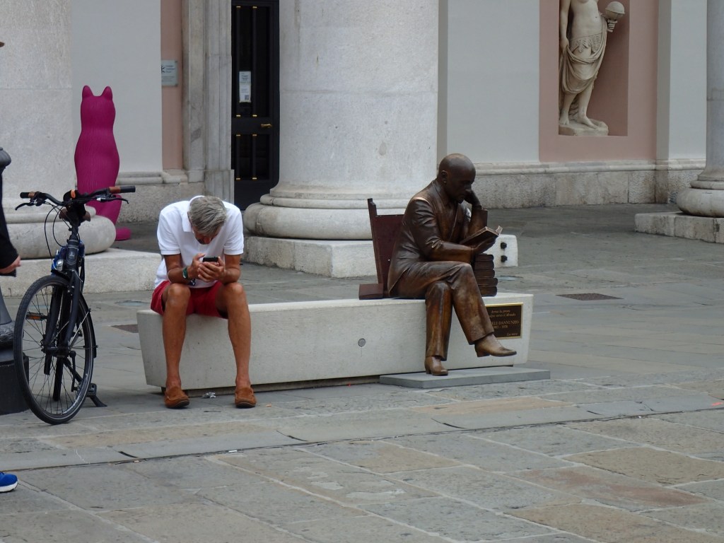
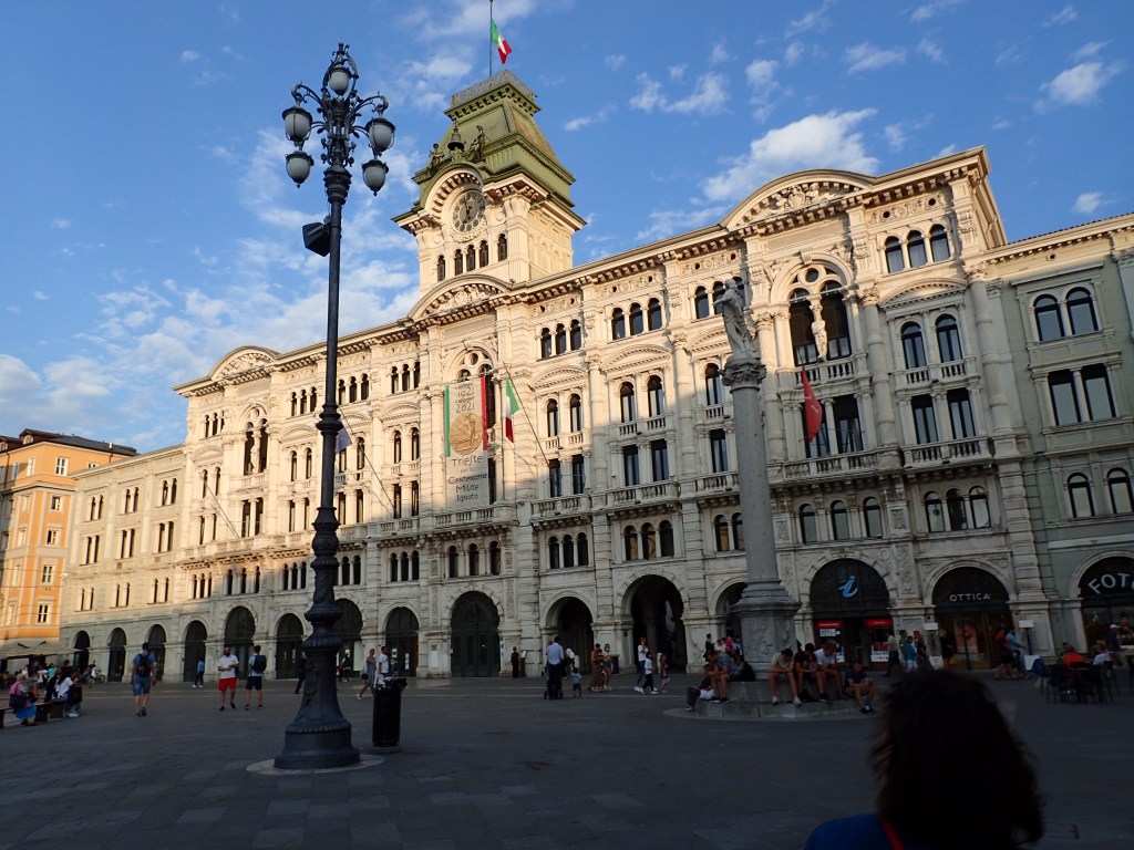
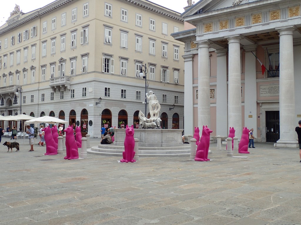
It was just a short ferry-ride of about 20 minutes to the huge Piazza dell’Unità d’Italia in Trieste that we crossed to reach our hotel, the James Joyce, in one of the narrow streets behind the square. The friendly guy at reception gave us a list of recommendations for dinner and, after showering, we set off to explore the city, booking a table for that evening at the Hostaria Malcanton as we passed it.
We found Trieste that afternoon to be quite a stressful place as we were confronted with two things that we hadn’t encountered for over a month – city traffic and crowds. Even though there were a lot of pedestrian streets, the noise of the heavy Italian traffic really harassed us and we didn’t stay on the busier streets for long. The city itself was beautiful with a number of spectacular, imposing buildings often built by insurance companies, some beautiful old cafés and narrow, charming backstreets. It was an odd blend of Italy and Middle Europe, which only added to its charm. As we had only one night there, we weren’t able to explore much, but Trieste would be well worth a return visit one day – maybe if we do the trail running across Croatia to Dubrovnik!
Dinner was a real delight, a delicious meal on a beautiful terrace, with recommendations from our waiter (the tuna I had was out of this world) and a great bottle of wine, washed down with a local grappa. We went back to the hotel content, well-fed and proud of ourselves at having succeeded in doing the whole trail (with a couple of short-cuts).
So that was the Alpe-Adria, a trail that I would heartily recommend to anyone, doing the whole trail the way we did, or dividing it into two and covering either the stunningly beautiful Austrian half, or the magnificent, but tough Slovenian section followed by a week of Italian gastronomic delights.
On completing it, we felt we could have carried on walking forever, exploring one country after another, but reality was calling and we had to return home and get back to work (after four nights at a great hotel with wonderful food in the beautiful Austrian spa town of Bad Gastein as a reward).
And if you’ve made it this far, sorry for taking so long to post these articles (life stepped in and slowed me down). Please come back and read about our other adventures since summer 2021.

What a wonderful blog! It was so kind of you to take so much t8me to share this. Thanks
LikeLiked by 1 person
Thank you for your kind comments, Judy.
LikeLike